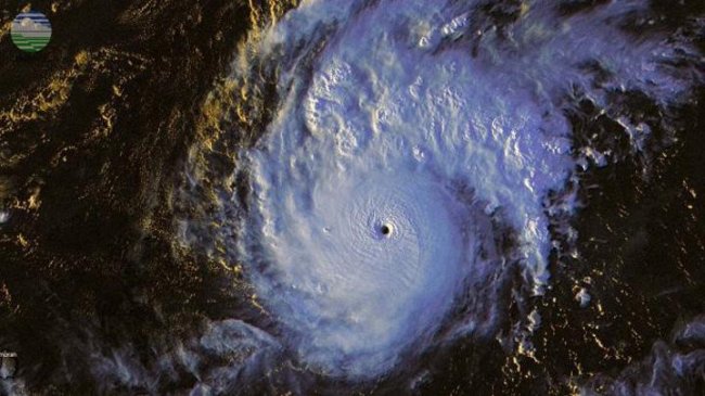
TEMPO.CO, Jakarta – The Meteorology, Climatology, and Geophysics Agency (BMKG) is currently observing two cyclone seeds – tropical cyclone 94S and the 98W cyclone – over the Indian Ocean and Karimata Strait.
Tropical cyclone 94S is recorded to have a maximum wind speed of 20 knots and a minimum air pressure of 1,004 mb, which is moving to the southwest region away from Indonesia. The chances of this seed turning into a tropical cyclone is low.
Meanwhile, the 98W tropical cyclone seed’s maximum wind speed is 20 knots with a minimum air pressure of 1,007 mb and is observed to have a stationary direction of motion. This also has a low chance of becoming a full-blown storm in the next 24 hours, according to the agency.
The indirect effect on Indonesia, due to the convergence zone the two systems created, are the growth of rain clouds and high tides in the vicinity of the cyclone seeds. A number of regions will also likely experience mild rain intensity up to heavy rain such as West Kalimantan, Riau, Riau Islands, Jambi, South Sumatra, and Belitung Islands.
Cyclonic circulations are also observed in the northern waters of the North Maluku Sea, the Indian Ocean south of NTT, and northern Australia which form a convergence area extending from the Indian Ocean south of NTT to the Timor Sea and in the northern waters of the North Maluku Sea.
Air temperature is detected to range from 20-33 degrees Celsius with the lowest temperature in Bandung while the highest temperatures are in Gorontalo and Mataram.
MARIA FRANSISCA LAHUR
Click here to get the latest news updates from Tempo on Google News


