TEMPO.CO, Jakarta – Tropical cyclone 90B seeds were monitored in the Indian Ocean west of Aceh, the Meteorology, Climatology, and Geophysics Agency (BMKG) has reported. Although having a low possibility to grow into a tropical cyclone today, January 27, 2023, they were observed to form a convergence area extending from Aceh to southeastern Bengal Bay.
They indirectly affected the country’s weather, such as medium to high-intensity rainfall and strong winds. The agency forecasted this would occur in Aceh and North Sumatra.
Low-pressure centers were also observed in the South China Sea and the Indian Ocean south of NTT. Both were influential to the weather as they formed convergence areas extending from West Kalimantan to North Kalimantan and from West Nusa Tenggara (NTB) to East Nusa Tenggara (NTT).
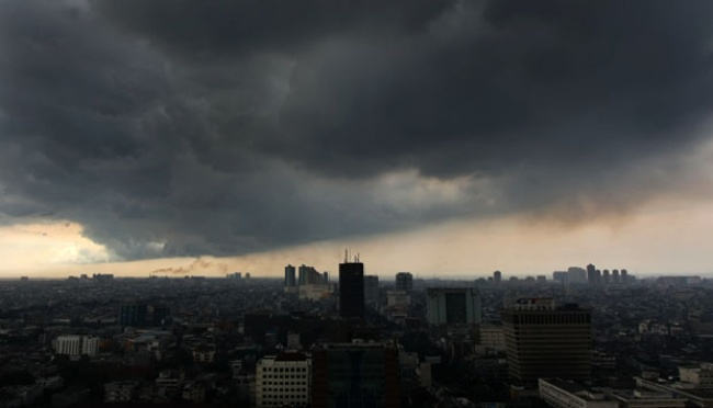
Therefore, the likelihood of thunderstorms grew in Jakarta (central areas), Surabaya, Samarinda, and Pangkalpinang. Heavy rain was also predicted in Bandung, Mamuju, Manado, and Padang.
Other regions, namely Yogyakarta, Gorontalo, Banjarmasin, Bandar Lampung, Ambon, Makassar, and Palembang would see moderate-intensity rain. While Banda Aceh is among those regions to be showered by light rain although the province has the potential impact of cyclone seeds in the Indian Ocean.
Aceh was thus under the weather alert status of Siaga today, similar to West Sumatra, Bengkulu, East Java, Bali, NTB, West Sulawesi, and South Sulawesi.
Additionally, BMKG warned of coastal flooding on the coasts of the Riau Islands (Karimun, Dabo, and Batu Ampar coasts), the coasts of Bangka Belitung, and the northern coasts of Central Java, as well as high waves (4-6 meters) in North Natuna Sea and the Indian Ocean west of Aceh to the Nias Islands.
MARIA FRANSISCA LAHUR
Click here to get the latest news updates from Tempo on Google News


